A Food Pantry on the Map Doesn't Mean a Family Gets Fed
January 30, 2026
A peer-reviewed study just mapped 34,475 food pantries across all 50 states. The findings should reshape how foundations think about food relief strategy.
The headline number is striking: nearly 1 in 4 neighborhoods in the United States have low access to food pantry services. But the deeper patterns in this data tell a more complicated, and more useful, story for anyone funding food relief at the local or regional level.
The study
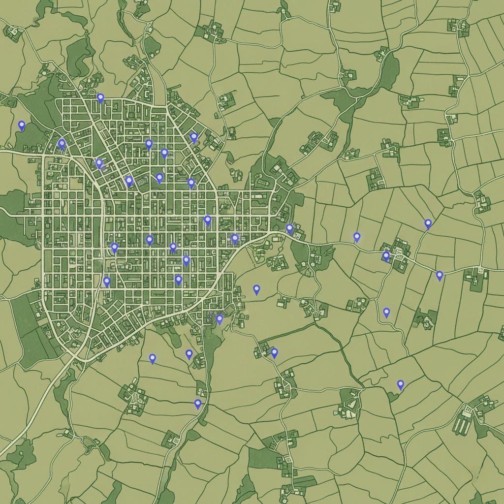
Researchers at the University of Massachusetts, the University of Colorado, and Brandeis University built the first comprehensive national dataset of food pantry locations and analyzed accessibility at the census block group level, a geographic unit of 600 to 3,000 people. That level of granularity matters. County-level or zip code-level data masks enormous variation within communities. A county can look adequately served on paper while entire neighborhoods go without.
The team analyzed 239,780 block groups (198,767 urban, 41,013 rural) and categorized each one as high, medium, or low access based on travel time or distance to the nearest food pantry.
Their core finding: 23.4% of block groups have low food pantry access. But the patterns behind that number diverge sharply between urban and rural America.
Two different problems
In urban areas, food pantry placement shows relatively strong alignment with community need. Block groups with high pantry access tend to have lower incomes, higher poverty rates, more single-parent households, greater racial and ethnic diversity, and higher participation in public assistance programs. The system, imperfect as it is, appears to reflect intentional targeting of vulnerable communities.
The numbers bear this out. In high-access urban block groups, 41.9% of households earn less than $50,000 annually and the poverty rate is 16.0%. In low-access urban areas, those figures drop to 29.6% and 8.6%. Urban pantries are, broadly speaking, located where need is greatest.
Rural areas tell a different story. Despite being more socioeconomically disadvantaged overall (mean Area Deprivation Index of 71.3 versus 45.8 in urban areas), rural block groups actually show proportionally higher food pantry accessibility: 71.9% with high access versus just 49.1% in urban areas.
But the alignment between placement and need is much weaker. In rural communities, pantry locations correlate more with existing infrastructure, population density, and volunteer availability than with strategic targeting of vulnerable populations. Communities with lower educational attainment and higher proportions of residents outside the labor force actually face longer travel distances to food pantries, the opposite of what you would expect in a needs-based system.
Over 25% of rural block groups with low food pantry access have Area Deprivation Index scores between 90 and 100, indicating severe socioeconomic disadvantage. In urban areas, only 4% of low-access block groups fall in that range.
The geographic divide
The study also reveals sharp regional disparities. Northeastern states consistently show higher food pantry accessibility, while Southern states cluster at the bottom. In urban areas, New York leads with 69.1% of block groups having high access. West Virginia sits at the other end, with 52.3% of urban block groups having low access.
This compounds an existing problem. The South already experiences the highest regional food insecurity rate at 14.7%. Lower pantry accessibility in the same region means the charitable food system is weakest precisely where need is greatest.
And here is a finding that challenges a common assumption: a state can have high food pantry density and still have poor accessibility. Alabama, for example, has relatively high pantry density per capita, but 45.9% of its urban block groups still have low access. Density tells you how many pantries exist. Accessibility tells you whether people can actually reach them.
The harder question
The most consequential insight in this study is not about location at all.
The researchers are direct about this: geographic proximity alone does not ensure effective access.
Even when a food pantry exists nearby, a cascade of operational barriers can render it functionally inaccessible. Prior research the study cites found that only about half of pantries were actually open during their listed hours, with several experiencing prolonged or indefinite closures. Open pantries frequently had insufficient food supply to meet client demand. Cultural mismatches, language barriers, and stigma further reduce utilization even when physical access exists.
This is the gap that should concern every foundation leader funding food relief. The question is not simply "are there food pantries in our service area?" It is "do we know which neighborhoods can actually access food assistance, which cannot, and why?"
That second question requires a fundamentally different kind of information than what most foundations currently collect.
What this means for foundations
Quarterly grantee reports can tell you how many meals a food pantry distributed. They cannot tell you whether the pantry three miles away is duplicating the same service on the same days, whether the neighborhood between them has no coverage at all, or whether either pantry is actually open when working families need it.
This study makes the case, with national-scale data, that the charitable food system's challenges are primarily coordination and information problems. Food pantries exist. Many are well-placed. But without ecosystem-level visibility into who is serving where, when, and with what capacity, funders cannot identify gaps, prevent duplication, or direct resources where they will have the greatest impact.
The researchers explicitly call for GIS-based needs assessments to identify underserved areas, targeted funding informed by accessibility data rather than density alone, and transportation assistance programs. These are infrastructure recommendations, not programmatic ones. They point toward the kind of systemic coordination that individual grantee reports were never designed to provide.
For foundations with food security portfolios, the practical implications are clear. Measuring impact at the individual grantee level is necessary but insufficient. The question that matters, the one boards are increasingly asking and donors increasingly expect answered, is whether the ecosystem of organizations a foundation supports is collectively reaching the communities that need help most.
That is a coordination question. And answering it requires seeing the whole picture.
Source: Zhang, Y., Lee, M., Gibbons, J.B. et al. "Socioeconomic, demographic and geographic disparities in accessibility to food pantries in the United States." Scientific Reports (2026). https://www.nature.com/articles/s41598-026-35784-z